
By Arlene Shaner, Acting Curator and Reference Librarian for Historical Collections
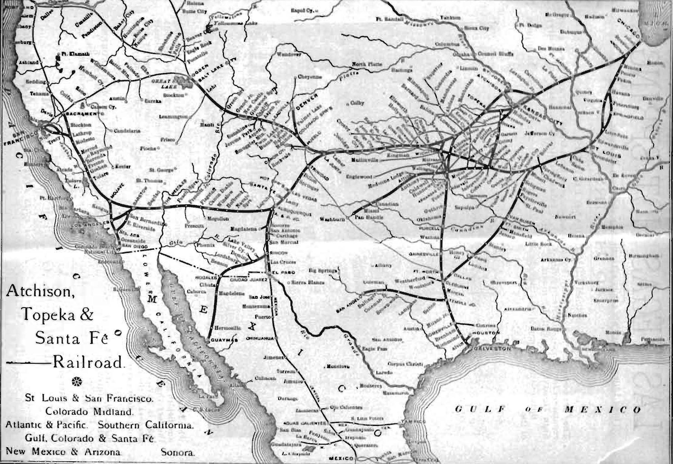
Map from The South-west and New Mexico for phthisis, weak lungs, asthma, bronchitis, etc. Chicago: American Health Resort Association, 1891.
On Wednesday, December 12, 2012, Carla Keirns, MD, PhD, from the Stony Brook University School of Medicine will present this year’s John K. Lattimer Lecture, “Putting Asthma on the Map: Weather, Pollen, Pollution and the Geography of Risk.”
Dr Keirns will discuss how the patient’s environment has been central to the prevention and treatment of asthma since antiquity, and how, beginning in the 19th century, physicians learned to use measurements of humidity, sunlight and rainfall to predict places and seasons that would be safe for asthmatics. During the same period, indoor and outdoor risks such as pollen and dust began to mark regions and spaces as risky or dangerous, and led to efforts to escape attacks through travel or fortifying the home environment against triggers. Recent efforts to predict or create safe places have turned again to the outdoors, both through national regulation of air pollution and the efforts of minority communities and their academic and activist partners to document the disproportionate environmental risks faced by their members.
Register for the event here.
